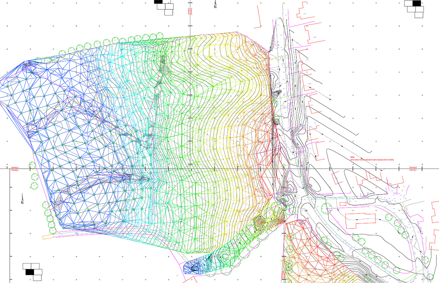
Topographical Surveys
A detailed topographic survey has many uses across the natural and built environments. Typically they are conducted on a set parcel of land to depict natural/man made features and elevation changes giving you a clear picture prior to any planned works. Detail is accurately measured and the deliverables issued to meet our clients specific requirements. These can range from simple 2D contour plans to detailed 3D AutoCAD / Revit drawings.
- Full feature survey
- A complete survey of the terrain to record the position of the street furniture, road lines, buildings, services, contours, embankments, vegetation etc.
- Boundary verification
- Basic outline of a projects periphery
- Ground levels
- A grid of levels or volumetric calculations